Last Updated on May 11, 2023
May 18 is Global Accessibility Awareness Day! Let’s celebrate this special occasion the mountain way—by enjoying the great outdoors.
North Carolina trails and greenways offer many benefits, including improving mental and physical health. For that reason and more, they should be accessible to everyone, especially including those with disabilities.
Allen Tate/Beverly-Hanks is an Official Sponsor of NC Year of the Trail. So we know how to find the most inclusive rail trails, greenways, and mountain overlooks across Western North Carolina and close to home.
We challenge you to learn more about NC Year of the Trail and the best accessible trails near you. Here are just 16 great accessible trails in WNC.
Skip ahead! Find accessible trails near you:
- 4 Accessible trails near Asheville
- 4 Accessible trails near Brevard
- 4 Accessible trails near Hendersonville
- 4 Accessible trails near Waynesville
- What is NC Year of the Trail?
4 Accessible trails near Asheville
Beaver Lake Perimeter Trail Loop
Managed by the Blue Ridge Audubon Society, the eight-acre Beaver Lake Bird Sanctuary in Asheville includes half uplands and half wetlands that attract waterfowl, migrating species in spring and fall, and a variety of breeding birds. The popular lake loop trail is flat with a 1% or less grade and a gravel surface at least five feet wide. Take the 0.4-mile boardwalk through the sanctuary for an additional 0.4 miles of bird watching with lake overlooks. Click for more info.
Length: 1.9 miles
Biltmore River Loop (Biltmore Estate)
It’s easy to enjoy the grounds of the Biltmore Estate every month of the year! Many trails crisscross the estate, but the river loop is popular even in cold months. There are at least 10 designated accessible spaces in the large paved parking lot off of Winery Road at the northwest end of the trail. The trail surface is pavement or packed gravel (with grassy areas) and typically at least four feet wide. The first three miles are the most accessible portions of the trail, with a gentle grade of 5% or less. There are also benches and picnic tables along the route for resting. Click for more info.
Length: 6.9 miles
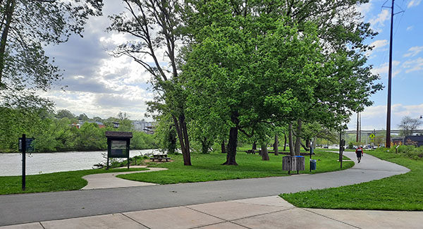
French Broad River Greenway (West Loop)
Linking three of Asheville’s city parks along the second oldest river in the world, the French Broad River Greenway also winds through residential and commercial districts. That makes this a popular trail for road biking, running, and walking. The paved asphalt surface and gentle grade (3% or less) make it a great choice for visitors using wheelchairs, mobility equipment, or strollers. The trail averages eight feet in width, and offers designated accessible parking spaces at the trailhead. Click for more info.
Length: 3.1 miles
Lake Louise Walking Trail
Head north of town to Lake Louise Park in the friendly small town of Weaverville. The small, five-acre lake is surrounded by benches, picnic tables, and shelters, plus a playground. It’s a perfect spot for family and community events, exercise, and romantic strolls. There are designated accessible spaces in the paved parking lot. And the paved concrete and packed gravel trail that loops the lake averages five feet in width with a gentle grade (5% or less). But visitors using wheelchairs, mobility equipment, or strollers may prefer all-terrain tires for the surface type. Click for more info.
Length: 0.6 miles
4 Accessible trails near Brevard
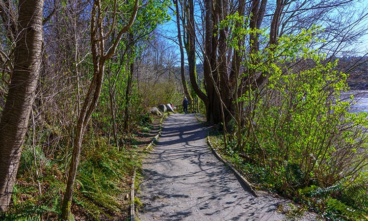
Davidson River Campground to Brevard Trail
This trail starts as a dirt trail at the Art Loeb Trailhead along the Davidson River. From there, it connects to the Estatoe Trail, where it becomes a paved bike path before crossing Asheville Highway and following Ecusta Road. This urban portion of the trail then connects to Brevard Greenway, which winds through town and behind Transylvania Regional Hospital. There are 12 designated accessible spaces in the paved parking lot off of Ecusta Road near Lowe’s, at about 1.4 miles when going south. The most accessible portion of the trail is the paved portion from about 1.4–3.8 miles when going south. Click for more info.
Length: 7.7 miles, out and back
Hooker Falls Trail
Located in DuPont State Recreational Forest, this is a very popular area for birding, hiking, and running. There are two designated accessible spaces in the partially paved lots at the east end of the trail. The trail surface is gravel or other natural surfaces and typically at least five feet wide. A portion at the bridge is paved and has railings. The most accessible portion of the trail is the first 0.25 miles. After that, there are some steep to very steep (over 8% grade) uphill and downhill sections when going clockwise. Hooker Falls is the only waterfall in the forest that is marked safe for swimming. Click for more info.
Length: 0.8 miles, out and back
Sassafras Mountain Observation Tower Walk
This short, paved concrete path is popular for walking. A parking area sits at the lower end, and the path leads to the observation platform on the North Carolina/South Carolina border. The path is six feet wide, but it falls in the steep (8-12%) and very steep (over 12%) grade category. For this reason, trail-goers using wheelchairs/mobility equipment may need assistance along the entire route. However, it does offer gorgeous views at the top and is especially popular at sunset. Click for more info.
Length: 0.2 miles, out and back
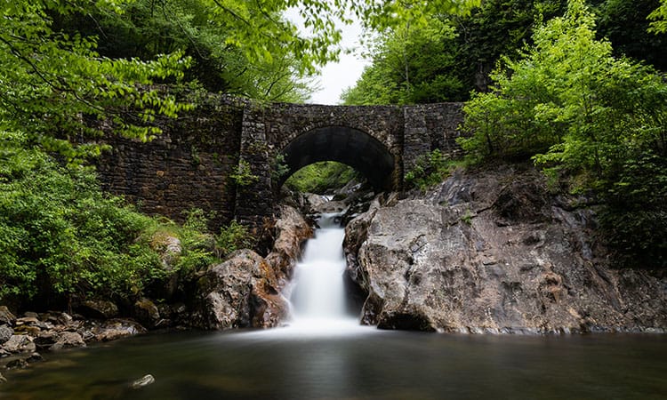
Sunburst Falls
You can view Sunburst Falls from the road, visible under a stone bridge built in 1937. But why not head down to them in person. Though not tall, the cascades are beautiful. Located in the Middle Prong Wilderness, this short route near Canton is popular for birding, hiking, and road biking. There are no designated accessible spaces in the gravel pull-off area. However, the trail surface is paved, smooth, and typically at least 20 feet wide. It is moderately steep (5–8%), and may be slippery when wet. Trail-goers using wheelchair/mobility equipment may need assistance for their safety. Click for more info.
Length: 0.2 miles, out and back
4 Accessible trails near Hendersonville
Flat Rock Loop
Spring is the perfect time to visit the Park at Flat Rock and take this scenic loop trail! There are several designated accessible parking spaces at the trailhead. And the 66-acre, dog-friendly green space also features a picnic pavilion, large playground, and Welcome and Nature Centers. The loop trail is mostly packed with fine granite with some paved sections, and averages six feet in width. It has a gentle grade (3% or less), with benches and picnic tables along the route. The far side of the trail follows along King Creek. Click for more info.
Length: 1.5 miles
Fletcher Loop
Much of this eight-foot-wide, gravel walking trail loops around the perimeter of Bill Moore Community Park in Fletcher, connecting with the Cane Creek Greenway along Cane Creek. The park also features baseball fields, a dog park, a frisbee golf course, and open green space. The greenway then follows the creek northeast as far as Asheville Regional Airport for additional fun. The trail is flat (less than 1% grade), but visitors using wheelchairs, mobility equipment, or strollers may need all-terrain tires or adaptive/motorized equipment for the surface type. Click for more info.
Length: 3.1 miles
Morse Park Path
Find the perfect view, sit, and watch the local birds and wildlife as the sun sets behind the peaks. This riverside park offers many scenic and romantic enclaves across its 23 acres. The park consists of four distinct areas: the meadow, the landscaped gardens, the wetlands, and the riverside. A smooth, paved asphalt path with benches along the way loops you through them all. In addition, from Morse Park you have incredible views of Lake Lure and Rumbling Bald vistas. The trail averages eight feet in width and features designated accessible spaces in the parking lot at the trailhead. Click for more info.
Length: 0.9 miles
Thermal Belt Rail Trail
It’s easy to spend all day on this paved rail trail, connecting five communities from Gilkey to Forest City. Mile marker 11 finds you in the town of Forest City and within walking distance to shops, restaurants, and the Pavilion for outdoor entertainment. There are two designated accessible parking spaces in the paved parking lot off of Oak Springs Road. The trail surface is smooth and is typically 5–10 feet wide with many wider passing spaces. The entire trail is in the mostly gentle grade category (5% or less), and there are benches and picnic tables along the route. There are also wheelchair-accessible bathrooms along the trail. Click for more info.
Length: 13.6 miles, point to point
4 Accessible trails near Waynesville
Jackson County Greenway
Enjoy a good mix of shade and sun along this nice paved trail along the Tuckasegee River. The trail starts at a large footbridge and features a kids bike park along the route. There is one designated accessible parking space in the paved lot at the north end of the trail. The trail surface is paved asphalt and smooth, averaging at least eight feet wide. The mostly gentle (5% or less) graded trail also features benches along the route for resting. Click for more info.
Length: 2.3 miles, out and back
Lake Junaluska Trail
Nature’s beauty abounds in Lake Junaluska! A path encircles the 200-acre lake with more than 2.5 miles of public walking and biking trails, as well as a 1.5-mile extension. There are plenty of opportunities to spot a variety of waterbirds attracted to the lake and enjoy panoramic mountain views from the waterfront. The trail surface is paved and is typically at least four feet wide. It is mostly gentle (5% or less grade) except for a moderately steep section up to 8% at 2.7 miles when going clockwise. Click for more info.
Length: 3.7 miles
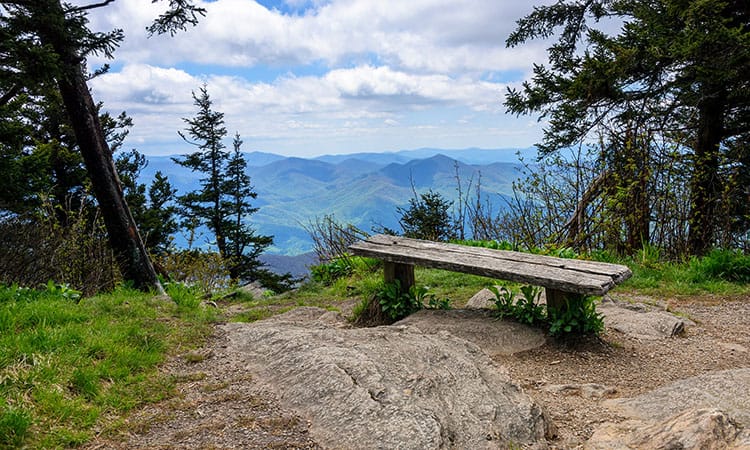
Roy Taylor Overlook
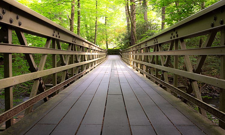
Take the Blue Ridge Parkway to the Roy Taylor Forest Overlook. After you pull over to park (there is one designated accessible space), there’s a short, level spur that takes you to a wooden platform with an unobstructed view of the region. The view is fantastic! The trail surface is paved asphalt or wooden boardwalks and features edge barriers and railings. It is at least five feet wide, with some wider passing spaces. There are benches along the route for resting. Click for more info.
Length: 0.1 mile, out and back
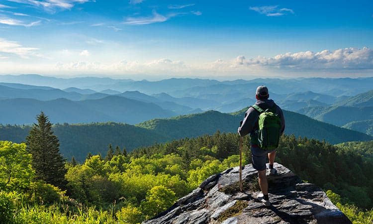
Waterrock Knob Overlook
Looking for a moderately challenging route near Sylva with amazing views? This is the paved—but steep—portion of the Waterrock Knob Trail that takes you to the first pedestrian overlook. Visitors using wheelchairs, mobility equipment, or strollers may need all-terrain tires or adaptive/motorized equipment for the consistent grade of 5% or more. There are accessible restrooms and a visitor center at the trailhead, along with a half dozen designated accessible parking spots. Click for more info.
Length: 0.4 miles, out and back
What is NC Year of the Trail?
Allen Tate/Beverly-Hanks is proud to be an Official Sponsor of NC Year of the Trail! This year-long endeavor celebrates our state’s vast network of trails, greenways, and blueways—and is the largest statewide celebration of trails and outdoor recreation in North Carolina history!
North Carolina is the Great Trails State, where each of North Carolina’s 100 counties should be able to enjoy the proven benefits of trails, including health, safety, economic development, tourism, transportation, and environment. Trails are the backbone of our state’s growing $28 billion outdoor recreation economy.
No matter your age, background, or abilities, there is a trail out there for you! We hope you’re inspired by today’s post on accessible trails in WNC. Check back as the year progresses; we’ll be covering more topics related to NC Year of the Trail, including:
- Lesser-known hiking and biking trails.
- Unexpected trail options beyond hiking.
- Trails with additional perks.
- And more.