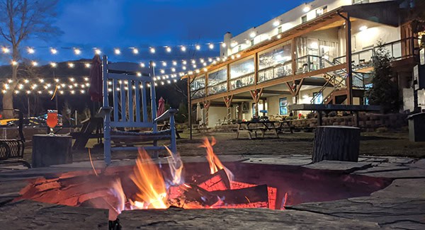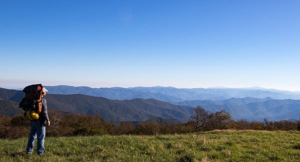
Every day in the Blue Ridge Mountains is an adventure, especially if you know where to look. And there is certainly much to see around the unique mountain town of Burnsville!
Burnsville residents live in a remarkable enclave for hikes of all levels of difficulty. There are countless trails and lookout spots dotted along the Blue Ridge Parkway and beyond into the wilds of Pisgah National Forest. And each offers its own unique perspective on native foliage, topography, and our world at large.
Your next adventure is right around the bend—Go find it! Here are five of our favorite adventurous hiking trails near Burnsville, NC.
Earth to Sky Park
Length: UNK
Difficulty: Easy to Moderate
You don’t have to leave Earth’s gravity to enjoy an out-of-this world adventure! Mayland Earth to Sky Park is the first International Dark-Sky Association (IDA)-certified Star Park in the Southeast. The park is home to the state-of-the-art Glenn & Carol Arthur Planetarium and Bare Dark Sky Observatory—the centerpiece of the park. But the campus also hosts a few gardens and trails. The leisurely path through the Pollinator Meadow is shaped like butterfly wings. Moon gardens are home to flowering plants that show up best under the moonlight. And for a more strenuous option, take the woodland trail from the back of the Arthur Planetarium up to the Bare Dark Sky Observatory. Click for more info.
Crabtree Falls Loop Trail
Length: 2.6 miles
Difficulty: Moderate
It’s not an adventure in the mountains of Western North Carolina without a jaunt down the Blue Ridge Parkway! Crabtree Falls Loop Trail is a moderately difficult, 2.6-mile loop hike that takes about 1.5–2 hours to complete. This lovely trail is most popular for its 60-foot rock cliff waterfall—the tallest along the Parkway. There are also many beautiful forest views along the way to stop and admire. And stop you may want to do, as a good portion of the trail is uphill. Enjoy this trail spring through fall, since the road to the campground is closed October–May. Dogs are welcome but must be on a leash no longer than six feet. Restrooms available. Click for more info.
Mount Mitchell State Park
Length: 0.25–6.0 miles
Difficulty: Easy to Strenuous
If you’re the kind of adventurer who likes to claw your way to the highest point in any direction just to plant your flag, this suggestion is for you! Mount Mitchell is the highest point east of the Mississippi, making it the ideal spot for flag planting. The park surrounding the peak has an extensive trail network offers some of the best hiking trails near Burnsville, including entry onto the Mountains-to-Sea State Trail. And within a short trail walk from the accessible observation deck at the peak, you can easily stroll alongside many of the hundreds of wildflower species dotting the high-elevation spruce-fir forests. After you’ve made it to the top, we recommend exploring Old Mitchell Trail (2.2 miles one way, Strenuous). A small waterfall near the summit is a great place to cool off after a long day of hiking. Click for more info.
Carolina Hemlocks Recreation Area
Length: 7.3 miles
Difficulty: Strenuous
The beautiful South Toe River is a popular place for trout fishing—and rightly so! But the river also offers other ways to recreate, including swimming, tubing, and hiking. The river runs alongside the Carolina Hemlocks Recreation Area, well in range of many trails, including the out-and-back Colbert Ridge Trail. According to locals, the first mile is easy, then the trail quickly ascends the ridgelines and gets tough. Nevertheless, it’s a great hike for dogs, as well as people. $5/day to park at the campgrounds or $25 for an annual pass. Click for more info.
Black Mountain Crest Trail
Length: 11 miles
Difficulty: Very Strenuous
If you’re looking for a true challenge, try your hand at what’s known as the “Most Difficult Trail of the East.” Its length and difficulty also makes it one of the more secluded hiking trails in WNC. This rugged summit-bagging trek climbs more than 3,000 feet in four miles, skirting the crest of the largest collection of 6,000-foot peaks east of the Mississippi. In exchange for your hard work, you’ll be rewarded with some of the most sweeping views of our mountains, especially from atop Mount Craig. The hike ends at the observation deck at the summit of Mount Mitchell, the highest peak in the Appalachians. Access the trail from Bowlens Creek Road, south of Burnsville. Click for more info.
Find what feels like home in Burnsville, NC
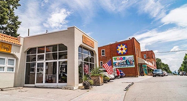
Burnsville is located among some of the highest mountains to be found in the eastern U.S. The town offers living situations and outdoor experiences that go above and beyond the norm, presenting you with many opportunities to find what feels like home. In addition to excellent hiking opportunities, Burnsville is also known for its extraordinarily rich artistic output. Yancey County is home to more than 400 full-time and 200 part-time working artists, including basket makers, glassblowers, metalsmiths, and more.
Does that sound like the perfect lifestyle for you? Find homes in Burnsville now!